| Magnitude | 4.1 |
| Region | FRANCE-GERMANY BORDER REGION |
| Date time | 2021-06-26 03:00:24.6 UTC |
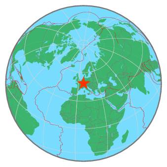
| Location | 48.660 ; 7.780 |
| Depth | 6 km |
| Distance | 60 km SW of Karlsruhe, Germany / pop: 283,000 / local time: 05:00:24.6 2021-06-26 9 km N of Strasbourg, France / pop: 274,000 / local time: 05:00:24.6 2021-06-26 |
All data providers for this event:
Bundesanstalt fur Geowissenschaften und Rohstoffe, German Regional Seismograph Network -- Hannover, Germany (BGR)Instituto Nazionale di Geofisica e Vulcanologia -- Rome, Italy (INGV) -- DOI: https://terremoti.ingv.it/en/iside
National Earthquake Information Center, U.S. Geological Survey -- Golden, United States (NEIC)
Royal Observatory of Belgium -- Brussels, Belgium (UCC)
Geoazur (Universite Cote d'Azur, IRD, CNRS, Observatoire de la Cote d'Azur) -- Nice, France (OCA)
Reseau National de Surveillance Sismique -- Strasbourg, France (ReNaSS)
Swiss Seismological Service -- Zurich, Switzerland (ETHZ)
Landsamt fur Geologie, Rohstoffe und Bergbau -- Freiburg, Germany (LED)
British Geological Survey -- Edinburgh, United Kingdom (BGS)
Laboratoire de Detection et de Geophysique -- Bruyeres-le-Chatel, France (LDG)
GeoForschungsZentrum (GFZ) -- Potsdam, Germany (GFZ)
HUN-REN EPSS Kövesligethy Radó Seismological Observato -- Budapest, Hungary (BUD)
EMSC - CSLOC -- Arpajon, France (CSLC)
Further information can be found at:
Landsamt fur Geologie, Rohstoffe und Bergbau -- Freiburg, Germany (LED)Laboratoire de Detection et de Geophysique -- Bruyeres-le-Chatel, France (LDG)
Bundesanstalt fur Geowissenschaften und Rohstoffe, German Regional Seismograph Network -- Hannover, Germany (BGR)