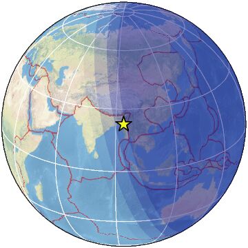
| Magnitude | 4.4 |
| Region | MYANMAR-INDIA BORDER REGION |
| Date time | 2025-02-01 12:40:45.0 UTC |
| Location | 22.830 ; 93.950 |
| Depth | 10 km |
| Distance | 146 km WNW of Monywa, Myanmar / pop: 182,000 / local time: 19:10:45.0 2025-02-01 29 km E of Falam, Myanmar / pop: 5,400 / local time: 19:10:45.0 2025-02-01 |
Source parameters provided by:
India Meteorological Department, New Delhi, India -- New Delhi, India (NDI)
All data providers for this event:
India Meteorological Department, New Delhi, India -- New Delhi, India (NDI)Further information can be found at:
GeoForschungsZentrum (GFZ) -- Potsdam, Germany (GFZ)India Meteorological Department, New Delhi, India -- New Delhi, India (NDI)
National Earthquake Information Center, U.S. Geological Survey -- Golden, United States (NEIC)