Seismic information
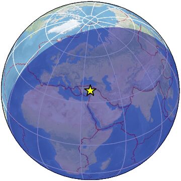
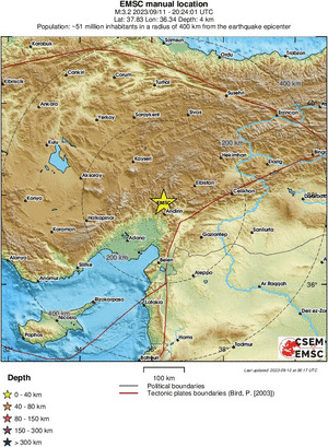
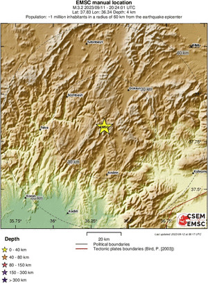
Earthquake location
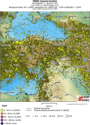
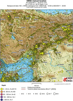
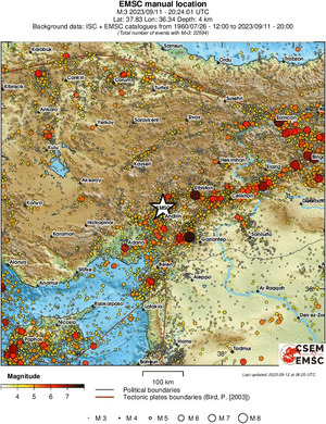
Historical seismicity
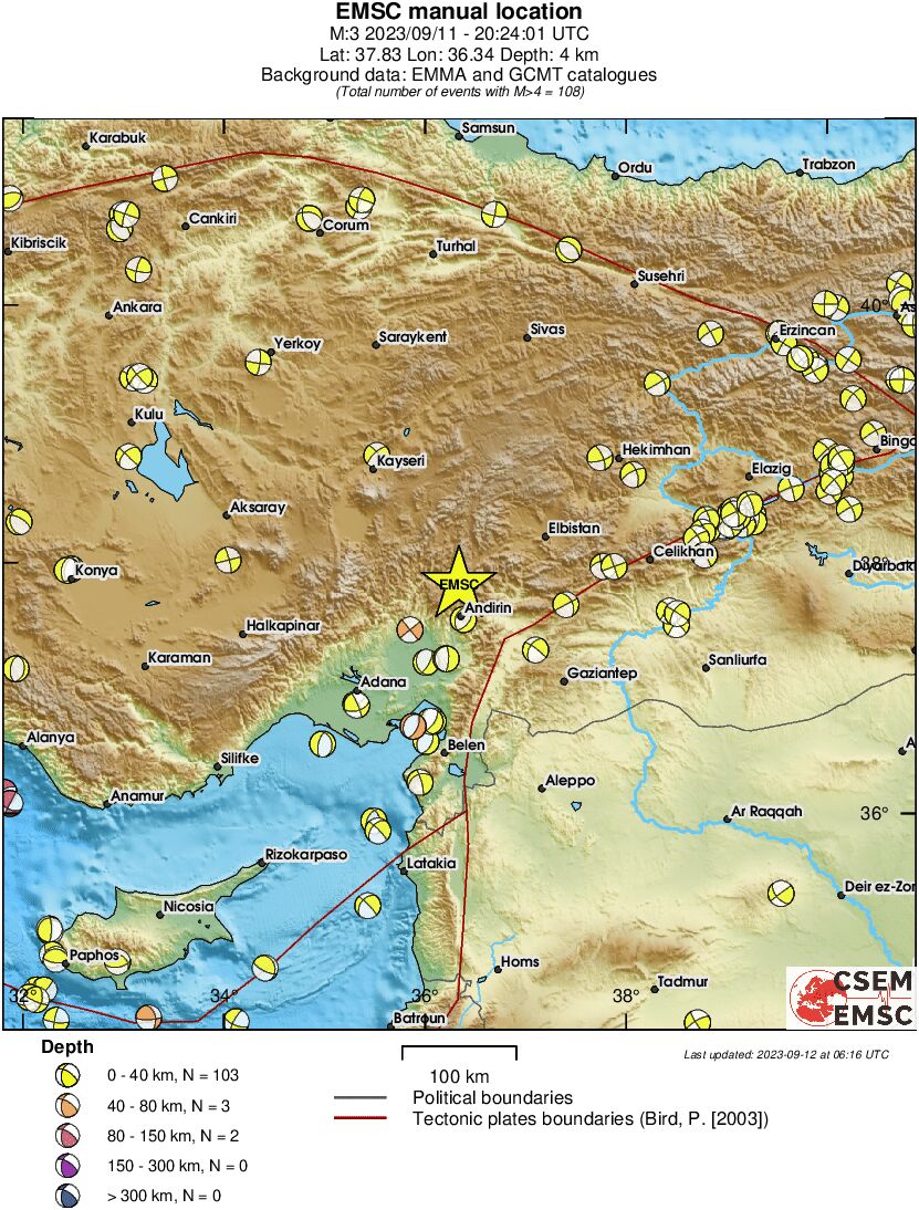
Moment tensors
Regional moment tensors
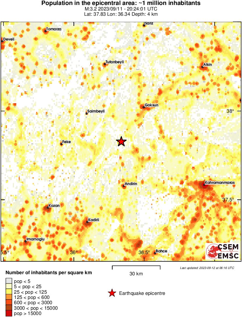
Affected area
ShakeMap
Earthquake eyewitnesses
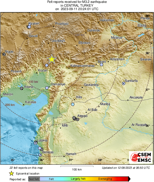
Felt reports
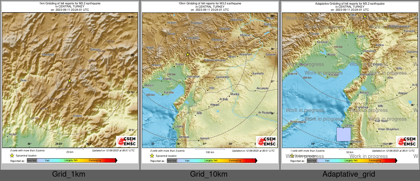
Interactive map
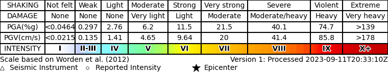
Intensity vs distance
Intensity map
LastQuake services
Collecting times
App launches

Original interactive maps and static maps at ingv
ShakeMap-EU is a collaborative initiative that provides rapid maps of ground shaking service for earthquakes in the Euro-Mediterranean area by integrating data from EPOS services. The earthquake location and magnitude are sourced from EMSC, while the ground motion data come from ORFEUS and the ground motion models are taken from EFEHR and national configurations. ShakeMapEU generates maps for earthquakes with M ≥ 4.0, provided ground motion recordings are available.
The maps help visualise the distribution and intensity of ground shaking, supporting scientific research, emergency response, and risk assessment. ShakeMap-EU aims to enhance accessibility and interoperability within the EPOS framework.
For more details and to access the latest maps, visit https://shakemapeu.ingv.it/